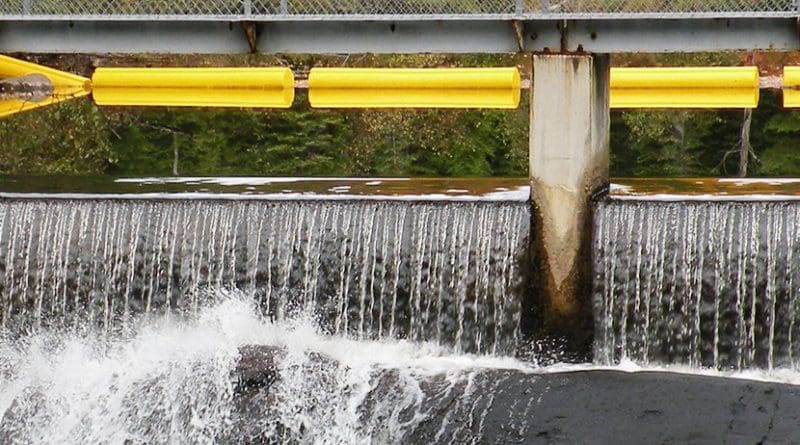
To Dam Or To Remove? How To Improve River Connectivity
An EU initiative is mapping dams and barriers across the continent to identify those that need to be restored or lifted. The database could help strike a balance between economic gain and environmental sustainability.
Efforts to demolish older, obsolete dams have intensified since the adoption of the EU’s Water Framework Directive in 2000. According to some estimates by the Dam Removal Europe network, at least 5,000 obstacles of various sizes have been lifted from rivers in Europe so far. But this process has to be managed carefully to achieve a more efficient restoration of stream connectivity.
The EU-funded AMBER project has recently launched a free mobile application to get citizens involved in documenting the barriers along European rivers. The data provided by the Barrier Tracker will feed into the European Barrier ATLAS created by AMBER to get a clearer picture of river fragmentation.
River fragmentation – the interruption of water flow by human activity – can have a negative impact on ecosystems. This is because dams and barriers can increase the risk of floods, affect water quality and interfere with fish migration patterns. But they can also offer fishing and leisure opportunities, be a source of energy and even prevent the spread of invasive river species.
However, dams and barriers lead to a dilemma. On the one hand, the hydropower generated by some of these is essential for meeting Europe’s 20% renewable energy target by 2020. This could result in the construction of new dams, as well as the rehabilitation of existing ones. A press release by the RiverWatch conservation organization suggests that there are plans to build close to 3,000 hydropower plants in the Balkans. On the other hand, there are hundreds of thousands of man-made barriers scattered across Europe’s rivers, many of which are either abandoned or no longer needed. They eventually clog up with sediments, begin to crumble, and endanger people and livelihoods. That’s why their removal has attracted attention in recent years. Yet, the real magnitude of river fragmentation at the pan-European level is almost unknown due to the lack of a complete and reliable database of stream barriers. An important part of the AMBER project is to create an inventory of barriers in European rivers, a so-called ATLAS.
As the project website explains, the ATLAS will enable AMBER to establish a common framework for barrier mapping, data collection and storage for any type of barrier that’s likely to have an impact on river ecosystem connectivity, including water, sediments and organisms. It will also support barrier reporting in a consistent and homogeneous way throughout Europe.
Damming figures
A recent news release by Swansea University stated that scientists working on the project collected all available data on river barriers from across Europe. Then, they validated the data by going out into the field to survey a total of 1,000 km of actual river. “The researchers found that the number of barriers recorded in existing databases only amounted to 3% of the total number of river barriers in Europe.” Based on their first observations, they estimated an average of one barrier per kilometre of river. The researchers believe the ATLAS will be a key tool to prioritise barriers for improvement or removal.
Quoted in the journal ‘Nature’, Prof. Carlos Garcia de Leaniz from Swansea University said dams were built with little regard for the impacts they might have on ecosystems. Prof. de Leaniz, who coordinates AMBER, added: “We must not make the same mistake when dams are being removed.”
The ongoing AMBER (Adaptive Management of Barriers in European Rivers) project uses old-fashioned mapping tools together with cutting-edge technologies such as environmental DNA analysis and remote sensing. To picture and assess stream connectivity, it utilises drones or other unmanned aerial vehicles.
Cordis source: Based on project information and media reports

