
Wetlands Persisted In Northern Morocco Until Around Half A Million Years Ago
The geologist Josep M. Parés, Geochronology and Geology Program Coordinator at the Centro Nacional de Investigación sobre la Evolución Humana (CENIEH), is the lead author of a paper published in the journal Geobios about the first geochronological data for the sediments of Aïn Beni Mathar-Guefaït Basin (in the province of Jerada), to the north of the Moroccan Atlas, obtained using magnetostratigraphy and Electron Spin Resonance (ESR), and which yielded ages of between half a million and three million years.
These results offer the first chronological framework for the sedimentary infill of Aïn Beni Mathar-Guefaït, one of the largest intermontane basins of the High Plateaus. They also show that the environmental variations that triggered the change from humid to desert conditions in this zone arose from the Middle Pleistocene, and that the moistest conditions, with lakes, persisted in the Northern High Plateaus until at least half a million years ago.
The main objective of this work, which is financed by the R+D+i projects PALEOMED, led by the CENIEH, and PALEOFRAM, led by the IPHES-CERCA together with the Fundación Palarq, is to offer an initial geochronological framework for the sedimentary infill of this basin based on a combination of the magnetostratigraphy and ESR methods, respectively performed by Parés and the CENIEH researcher Mathieu Duval. “We have managed to narrow down the age of the paleontological record, which includes an important site with fauna (Guefaït-4.2), the evolution of the Moulouya River, and the activity of the faults that delimit the basin”, explains Parés.
The authors studied the sedimentary rocks in the basin, which are alluvial lower down, and of lacustrine/palustrine origin at the top. A total thickness of around 140 m of sediments were analyzed, and these were sampled for paleomagnetic purposes, at an average interval to 2.5 meters. This made it possible to reconstruct a magnetic polarity stratigraphy, which is an alternation of periods of different magnetic sign. The zones of different signs or polarity obtained in this way, which are rather like a barcode, were correlated with the geomagnetic polarity scale of reference, using biostratigraphic data and local geological observations.
A Spanish-Moroccan project
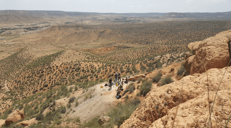
Since 2006, the Aïn Beni Mathar-Guefaït Basin has been the object of a research project directed by Robert Sala and M. Gema Chacón, of the Institut Català de Paleoecologia Humana i Evolució Social de Tarragona (IPHES-CERCA), and Hassan Aouraghe of the Faculty of Sciences of the Université Mohamed Premier in Oujda (Morocco), who has recently joined the CENIEH.
“The studies we are conducting make it possible to delimit the dates of the different geological formations, and thus for the sites holding mammals they house, such as the site Guefaït-4.2”, concludes Parés.