
Burma: Satellite Images Reveal Villages Set On Fire In Rakhine State
New satellite imagery shows evident fire-related destruction in at least three villages in Burma’s Rakhine State, according to Human Rights Watch (HRW).
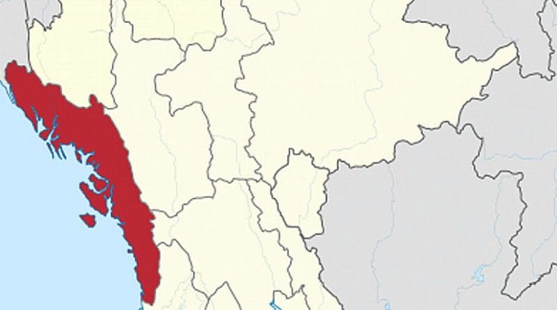
HRW’s review of high-resolution satellite imagery recorded on the morning of Oct. 22 identified multiple areas of probable building destruction in three villages in Maungdaw district.
The discovery of active fires and large burn scars in these villages is consistent with arson attacks reported in Maungdaw district since Oct. 9 by Rohingya groups, human rights organizations, and media accounts quoting witnesses to the violence.
“These satellite images of village destruction could be the tip of the iceberg given the grave abuses being reported,” said Phil Robertson, deputy Asia director at HRW in a statement.
Gunmen attacked three police outposts in Maungdaw township near the Bangladesh border, reportedly leaving nine police officers dead, on Oct. 9. Burma’s government asserts the attack was carried out by a Rohingya group, but actual responsibility remains unclear.
Immediately after the attacks, government forces declared Maungdaw an “operation zone” and began sweeps of the area to find the attackers and lost weapons.
Media and local rights groups have reported numerous human rights abuses against Rohingya following the attack, including extrajudicial killings, rape, torture, arbitrary arrests, and burning of homes.