
Deforestation Of Indigenous Lands Could Prevent Brazil From Achieving Climate Change Mitigation Targets
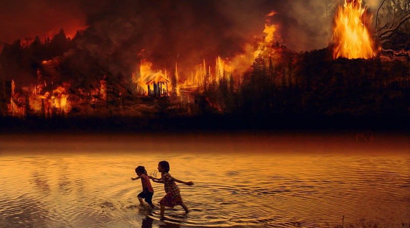
Indigenous lands in the Brazilian Amazon are under constant pressure, and deforestation of these areas has accelerated in recent years. Some of them, such as Apyterewa Indigenous Territory in Pará state, are particularly affected, endangering Brazil’s ability to meet the targets to which it is committed internationally in terms of combating deforestation and mitigating the impact of climate change. To protect the areas of the Amazon that are still intact, effective action must be taken to enforce the nation’s environmental laws.
This warning is in a letter entitled “Protect the Amazon’s Indigenous lands” and published in the journal Science. The letter is signed by Guilherme Augusto Verola Mataveli, a researcher in the Earth Observation and Geoinformatics Division of Brazil’s National Space Research Institute (INPE) with a postdoctoral scholarship from FAPESP, and Gabriel de Oliveira, a professor at the University of South Alabama in the United States.
The same issue of the journal, features similar warnings in another letter, entitled “Mining and Brazil’s Indigenous peoples”, by two scientists affiliated with the National Institute of Amazon Research (INPA), Lucas Ferrante and Philip Fearnside.
“Brazil has good environmental laws that on paper should reduce and inhibit deforestation. However, enforcement of these laws is the big issue. It’s the first step, which should be associated with long-term measures, such as promoting environmental education, valorizing the standing forest as a source of income for the communities that live in the Amazon, and resuming and strengthening the actions called for by the PPCDAm. They proved effective in the past,” Mataveli told Agência FAPESP.
The Action Plan to Prevent and Control Deforestation in Legal Amazonia (PPCDAm) was launched in 2003 to bring about a continuous reduction in deforestation and create conditions for a transition to a sustainable development model in the area. However, the fourth phase of the plan, which was supposed to have lasted until 2020, was starved of resources and interrupted. During last year’s COP26 climate conference in Glasgow, the federal government pledged to reduce illegal deforestation to zero by 2028.
Legal Amazonia is an area of more than 5 million square kilometers comprising the Brazilian states of Acre, Amapá, Amazonas, Maranhão, Mato Grosso, Pará, Rondônia, Roraima, and Tocantins. It was created by Brazilian federal law dating back to 1953 in order to promote special protection and development policies for the area.
In their letter, Mataveli and Oliveira refer to the “dramatic increase” in deforestation rates in Legal Amazonia since 2019. The official rate for the 12 months between August 2020 and July 2021 was the highest for 15 years, reaching 13,235 sq. km., or slightly less than the area of Northern Ireland (14,130 sq. km).
This rate was also 69% higher than the average annual since 2012, according to data from INPE’s Amazon Forest Satellite Monitoring Service (PRODES). Internationally recognized as the most accurate tool for estimating annual deforestation rates in the Amazon, PRODES focuses on cut-and-burn rates and has used the same methodology since 1988.
As the letter notes, accelerating destruction of the forest affects conservation areas, including Indigenous lands, which are supposed to act as shields against deforestation. The authors stress that deforestation in Indigenous lands had an annual average of 419 sq. km. in the last three years, corresponding to a rate 80.9% higher than the annual average for the period 2012-21.
Located in the municipality of São Félix do Xingu (Pará), Apyterewa accounted for 20.7% of total deforestation in Indigenous lands in 2021. It had already lost 200 sq. km. of forest between 2016 and 2019, with deforestation rising from 4.7% of the area (362 sq. km.) to 7.4% (570 sq. km.) in the period.
This resulted in an increase in greenhouse gas emissions, especially carbon from burning, as noted by an article published in 2020 in the journal Forests, with Mataveli and Oliveira among its authors.
“When we studied the satellite data, we found that forest conversion is mainly to pasture and cropland, but we located mining sites inside Apyterewa,” Mataveli said. “The increase in greenhouse gas emissions didn’t continue at the same rate, since deforestation doesn’t always involve burning.”