
Chinese Survey Ship Lingers In Indonesian EEZ, Data Shows
By BenarNews
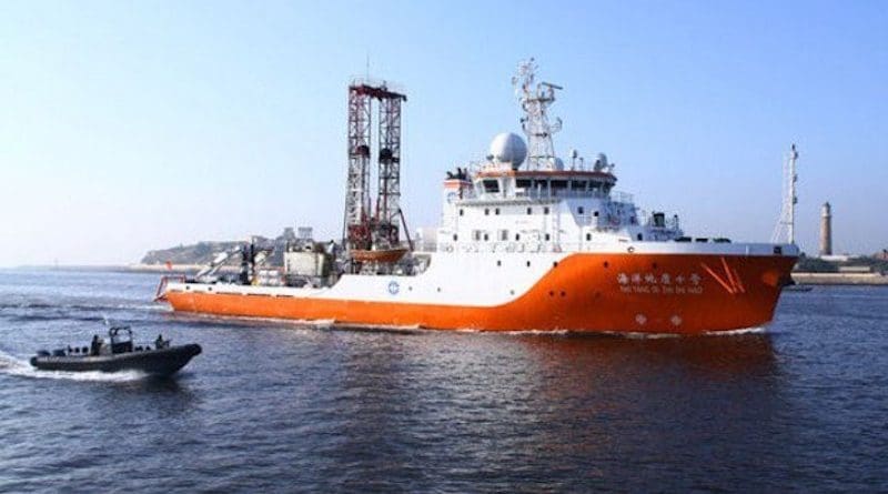
Ship-tracking data obtained by BenarNews on Friday shows the Chinese survey ship Haiyang Dizhi 10 continues operating in Tuna Block in the Indonesian exclusive economic zone (EEZ), almost a week after a flagship U.S. aircraft carrier sailed within 50 nautical miles of the ship.
An Indonesian naval ship, the Kapitan Patimura-class corvette KRI Teuku Umar (385) was seen near the Haiyang Dizhi. The corvette is believed to have been dispatched to the area earlier this week.
On Friday, the Indonesian Navy said it deployed ships to secure the Natuna Sea. Ship-tracking data and witness accounts reported in Indonesian media also indicated several Chinese ships, including Chinese Coast Guard Ship 4303 have been in the area this week.
“Four KRIs [Indonesian ships] are in the North Natuna Sea. … We want to give confidence to fishermen or sea users in North Natuna Sea, and the sea is under control because of the presence of the KRIs there,” Rear Adm. Arsyad Abdullah said during a virtual news conference.
“In addition to the KRIs, operations in the North Natuna Sea also involved Indonesian Navy aircraft to carry out routine maritime air patrols in the area,” said Arsyad, commander of the Indonesian Navy’s 2nd Fleet.
U.S. carrier
The aircraft carrier USS Carl Vinson passed by the Haiyang Dizhi 10 on Sept. 11 as the American warship sailed through the southern part of the South China Sea, a move analysts said was intended to send a message to the Chinese ship.
On Monday, the Indonesian Navy deployed the KRI Bontang (907) to the same area. Ship-tracking records show it was following the Haiyang Dizhi’s movements in the Tuna Block, an important oil and gas field in the North Natuna Sea.
The KRI Bontang (907) has since withdrawn to Natuna Island.
The Indonesian government has been under immense domestic pressure to protect natural resources.
Since late August, the Haiyang Dizhi has been operating about 90 to 100 nautical miles north of Indonesia’s Natuna Islands. Ship-tracking records show its back-and-forth pattern typical of a maritime survey.
Chinese ships have been accused of harassing neighboring countries’ oil exploration activities but Beijing insists they are operating within China’s jurisdiction.
Although Indonesia does not regard itself as a party to the territorial disputes in the South China Sea, the northern part of the Natuna Sea overlaps with the “nine-dash line” that China uses to demarcate its sweeping claims in the South China Sea – a position not recognized by international law.
Tria Dianti in Jakarta contributed to this report.