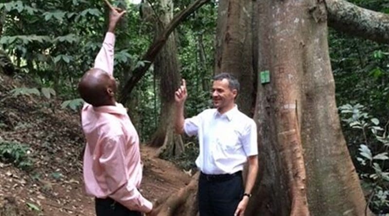
Satellite Project To Protect Threatened Ecosystems To Monitor Kenya’s Forests In Near Real-Time
Researchers from the University of Leicester will be traveling to Kenya from 25 – 29 April to kick off a new satellite project that aims to monitor the world’s forests in near real-time.
The researchers hope that it will help forest land owners and national agencies to protect biodiversity and reduce climate change through the rapid detection of forest cover changes arising from unsustainable utilisation practices.
The project is supported by the Natural Environment Research Council (NERC).
The University of Leicester is internationally renowned for its Space and Earth Observation research. The team travelling to Kenya includes Professor Heiko Balzter, Director of the Centre for Landscape and Climate Research at the University of Leicester, together with Dr Pedro Rodríguez Veiga and Dr Ciaran Robb from the University’s Department of Geography and Dr Maggy Heintz from the Research and Enterprise Division.
The United Nations Framework Convention on Climate Change includes an international initiative on ‘Reducing Emissions from Deforestation and forest Degradation’ (REDD+) whose aim include protection of carbon stocks and biodiversity in threatened ecosystems around the world. This way, carbon stays in the forest and is not released to the air, where it could lead to further global warming.
One of the main constraints for the successful implementation of REDD+ that has been identified by policy makers, investors, financiers and scientists is the need for robust and objective Measurement, Reporting and Verification (MRV) systems.
It has been recognised that satellite technology is the most feasible way to regularly monitor the world’s forests in a timely fashion.
Kenya has recently set out an ambitious climate change action plan and within the context of REDD+. The University of Leicester is working with the Ministry for Environment, Natural Resources and Regional Development Authorities, Kenya Forest Service and a Kenyan company Ukall Ltd to develop a prototype for a near-real-time forest cover change, monitoring service from Sentinel-1 and 2 satellite data. The service will use national forest definitions and is delivered directly in an easily accessible reporting format via a smartphone app to community forestry associations and the Kenya Forest Service.
This will help Kenya in its REDD+ readiness efforts and demonstrate the value of satellite enabled forest monitoring and its application via mobile phone app development.
Professor Balzter said, “After the greenhouse gas emissions from fossil fuels, tropical deforestation is the second largest contributor to global climate change. We will focus the initial prototype of our monitoring system at the scale of a national forest reserve in Kenya and make sure that community forestry associations and local communities also have access to the information.”
According to Balzter, “Our aspiration is to support participatory forest management strategies to enable Kenya to manage its forests more sustainably and achieve its national forest cover target of minimum 10% by 2030. Our research has a huge potential impact if it contributes to Kenya’s efforts to take up more carbon from the air and store it in the form of forest biomass.”
Balzter noted, “The prototype will allow the Kenya Forest Service and the Ministry of Environment and Natural Resources to have timely information on deforestation and forest degradation and have the means to establish a robust and objective Measurement, Reporting and Verification (MRV) system based on cutting-edge technology.”
During the visit the University of Leicester, together with the Kenya Forest Service (KFS), will organise a workshop to be hosted by KFS in Nairobi. Also participating will be our Kenyan based Partner, UKALL Limited, a leading mobile app design and development company, to be represented by their lead developer and CEO Catherine Kiguru and their Executive Chairman, Paul Rees.
The objectives of the workshop are to engage interested parties in a dialogue and discuss forest monitoring user requirements, satellite forest monitoring service development, data availability, reporting format and agree on a forest test site to test the prototype.
Apart from the workshop, a series of meetings with a variety of stakeholders including the Food and Agriculture Organization of the United Nations, the Kenya Institute for Public Policy Research and Analysis and the Kenya Wildlife Service is planned while in Nairobi.
This visit is a follow-up from an initial stakeholders engagement conducted by Professor Balzter and William Wells (Research and Enterprise Division at the University of Leicester) in October 2015, enabled by a NERC pathfinder grant aimed at conducting a market assessment for a global near-real-time deforestation warning service from satellite data, based on the research results from a previous NERC CORSAR grant.

